A lockdown adventure on Bristol’s Community Forest Path
hat does a keen long-distance hiker do during lockdown? In my case, scour the local OS map (the rather underused OS155 Bristol and Bath sheet) in search of adventure closer to home. In poring over its overwhelmingly urban squares, I spotted the familiar green diamonds that mark a long distance path, and following its route, I discovered that it looped all the way around the city of Bristol.
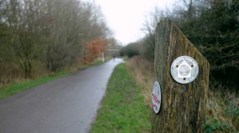
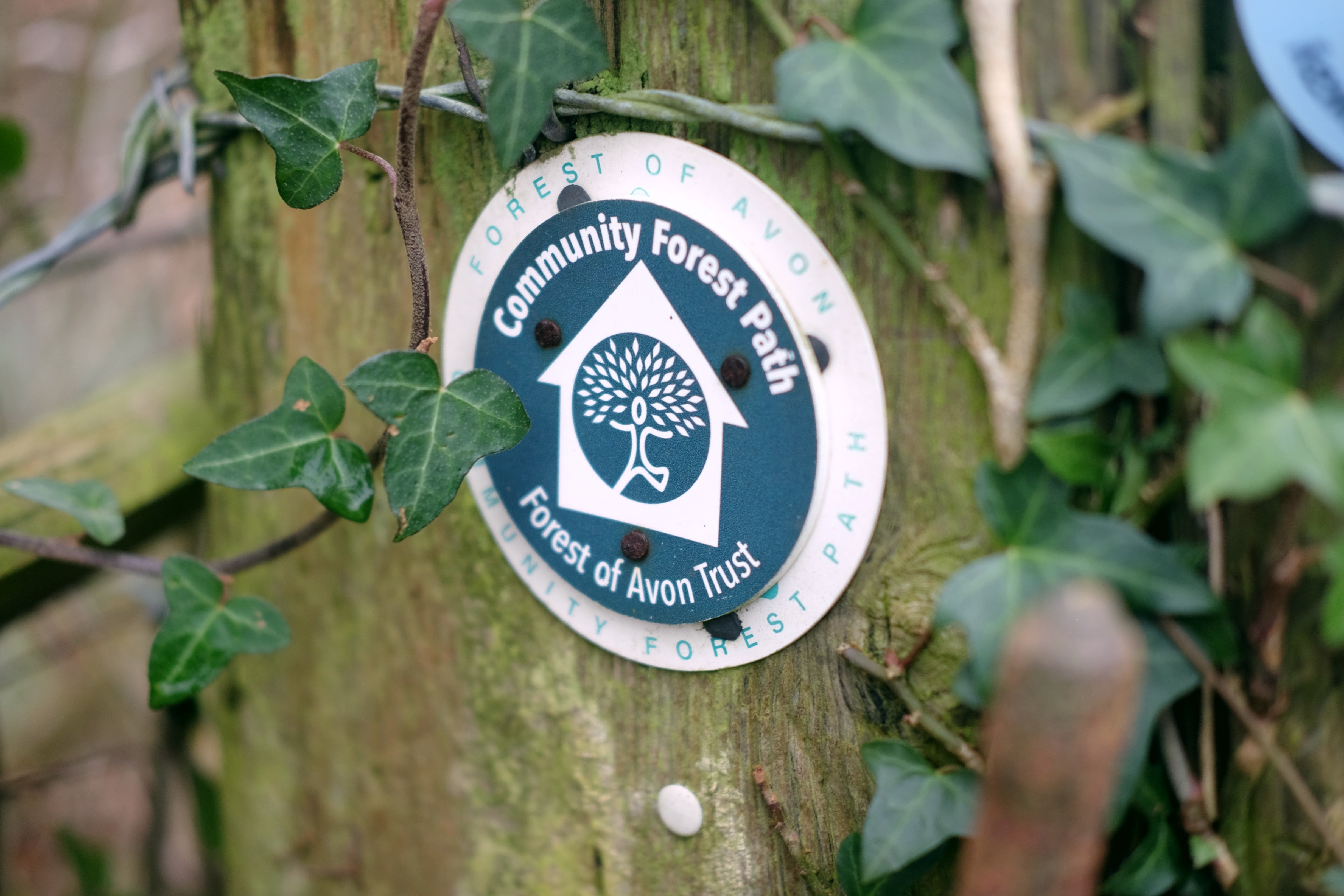
Managed by the Forest of Avon trust, the 46-mile Community Forest Path was designed in 1997 by one of the right of way officers in the region. It was planned to link together the counties that used to be called Avon (City of Bristol, South Gloucestershire, Bath and North East Somerset and North Somerset), and encourage people out of the city into the surrounding countryside.
The route straddles the rural/urban divide, meaning that, unlike most long-distance paths, it doesn’t involve travelling far from your front door, is perfect for tackling in short sections and is largely accessible via public transport or a bike. While much of it lies in the peri-urban periphery of the city, if you’ve ever cycled the Bristol-Bath cycle path, walked through Ashton Court Estate or crossed the Clifton Suspension Bridge, you’ve set foot on the route. Don’t let the name fool you though – the path itself passes through very little woodland, with the name instead referring to the Forest of Avon as the combination of trees and woodland in the wider West of England area.
Read more
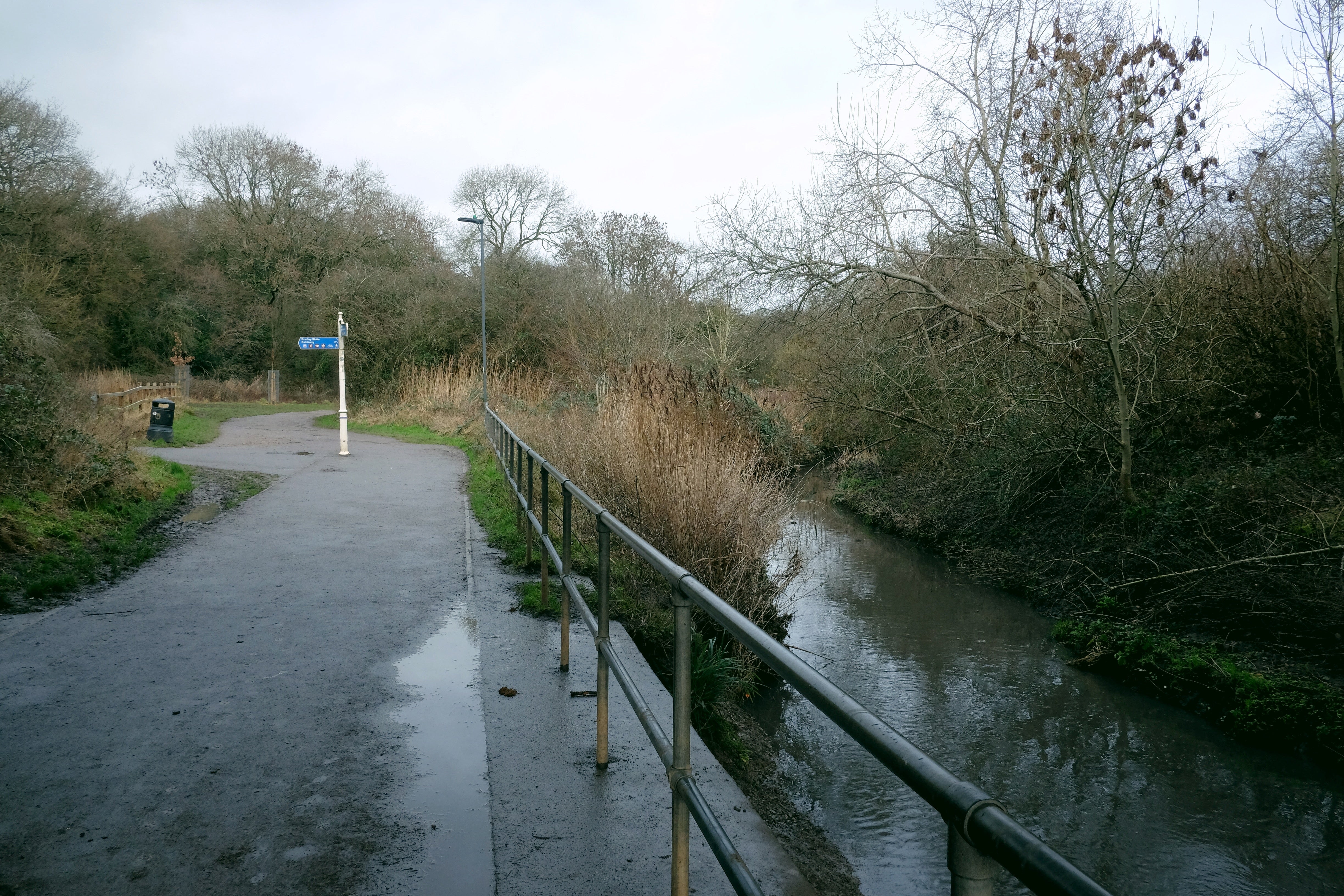
One of the most unexpected highlights was a few walks ahead when we stumbled across the Brandy Bottom colliery near Pucklechurch, the site of a 19th-century steam-powered coal pit that still has an impressive 23m chimney, and two clusters of relatively intact buildings. Likewise, the Three Brooks Nature Reserve in Bradley Stoke marked a surprisingly beautiful stretch in a part of the city that consists mostly of new-build housing. As I followed a series of winding streams, the plentiful birdsong blended with the traffic noise and I soon forgot how close to the M4 I was.
One of the best things about the path was visiting parts of the city I’d not ventured to (or even heard of before), such as Easter Compton, where the path took us past a small old church that, on closer inspection, revealed a stunning Norman arch framing the main door. A few miles further on, we reached Blaise Castle Estate, a 650 acre area of parkland that I’ve visited many times. Here, the path surprised me again though, as after following the deep wooded gorge and the familiar twists of Hazel Brook, we found ourselves clambering (and slipping in the abundant mud) sharply up to Kings Weston Hill – a broad, open strip of grassland where few other walkers seem to venture.
INDY/GO Weekly Newsletter
TIME TO TRAVEL!
Read our full mailing list consent terms here
INDY/GO Weekly Newsletter
TIME TO TRAVEL!
Read our full mailing list consent terms here
The most picturesque part of all was the section that passes south of the city. After a long, slow climb across farmland to the summit of Dundry Hill, we were rewarded with exceptional views across the city that is home to more than half a million people, inspiring a long game of spot the Bristol landmark. From here the route drops down into one of my favourite local villages, Pensford, and the striking viaduct that used to carry the Bristol and North Somerset Railway across the valley before it closed in the mid-20th century.
As I followed a series of winding streams, the plentiful birdsong blended with the traffic noise and I soon forgot how close to the M4 I was
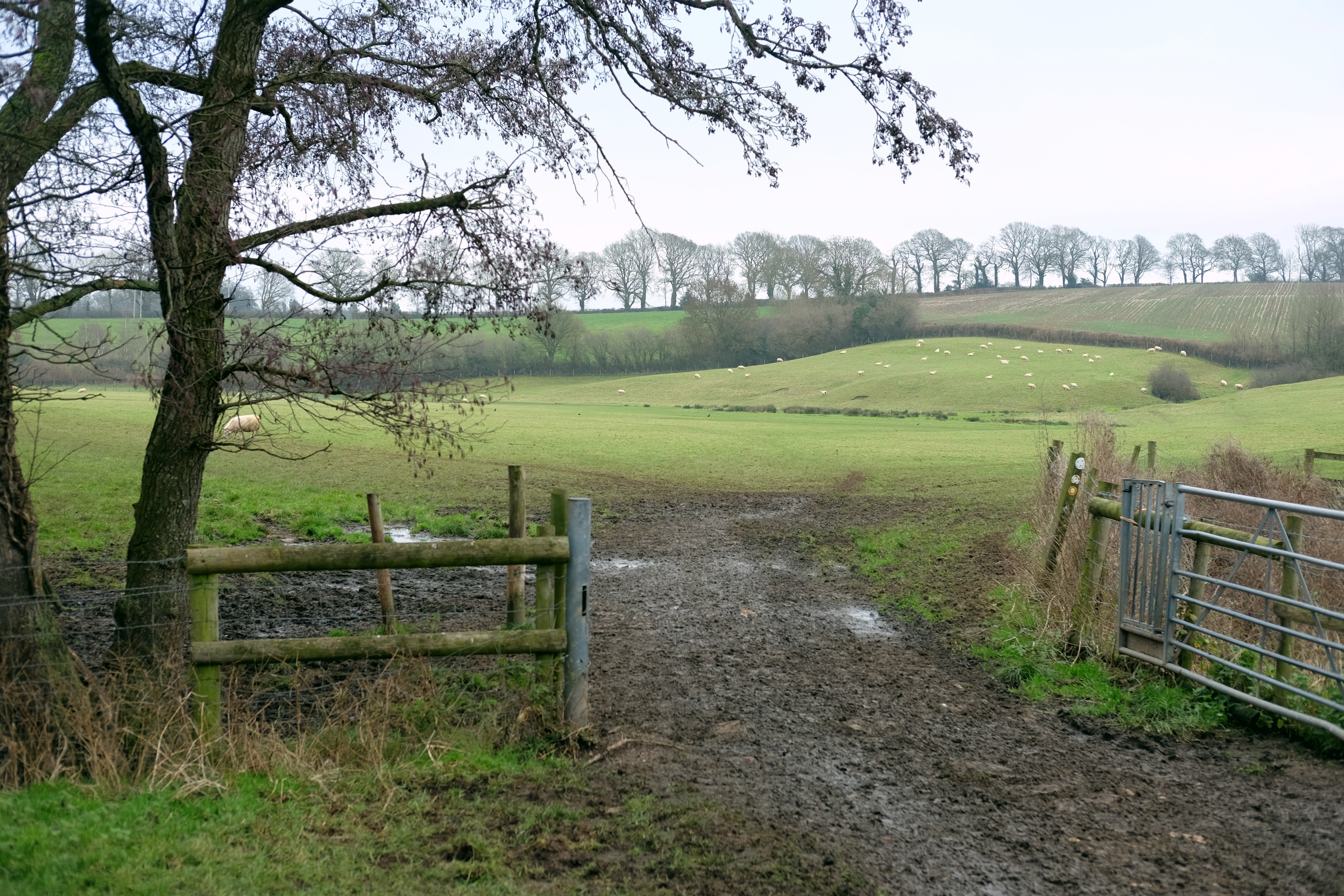
After Pensford, the route has a leisurely feel, winding gently along as it follows the Chew River to Keynsham, passing through a series of quiet Somerset villages on the way. However, this stretch also shows one of the downsides of lockdown walking – the high foot traffic has turned parts of it into what can only describe as a mud trough. Good footwear (wellies or sturdy boots) is essential for winter exploration –and be prepared for ankle-deep squelching through gateways and slippery navigation down slopes.
While the route is generally well sign posted, there were several moments where I was glad to be armed with the OS map; from one field where the farmer appeared to have reused the waymarked fence post (which now pointed straight into a river), to a byway that had seemingly transformed into a torrential river.
The Community Forest Path has shown me so many new parts of a city that I have lived in for so long; it inspired me to look at the paths and countryside right on my doorstep. The route itself is incredibly varied, mixing historic estates, rural countryside, green corridors and urban sections, meaning you’re never bored and you get to see the best that Bristol has to offer.
Hiking highlights
Best view: Descending from Dundry Hill looking over the Mendips.
Best place to grab a coffee (outside lockdown): The Warmley Waiting Room is perfect for a cup of tea and some chips.
Calmest section: Following the Chew River from Pensford.
Perfect picnic spot: On Spaniorum Hill, overlooking the Severn Estuary.
Source: Read Full Article