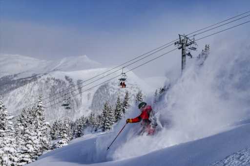
Three-day storm system to dump snow on Colorado ski areas just after Presidents’ Day
It won’t arrive in time for Presidents Day, but a significant storm system with double-digit snow totals for most of the Colorado high country is being forecasted for early next week.
The northern mountains can expect 10-15 inches from the three-day event, according to Joel Gratz, founding meteorologist at OpenSnow, while the central mountains could receive 15-20 and the southern mountains 20-30.
Gratz expects “intense” snow from Monday night into Tuesday and again Wednesday night.
“I spent a lot of time looking at weather data this morning to ensure that I wasn’t missing a key factor about the powder potential for next week,” Gratz reported Friday morning. “Indeed, all forecast models are on board with a snowy scenario, so I feel pretty good about forecasting significant snow for most mountains and multiple days of powder across Colorado.”
The best powder days should be Tuesday, Wednesday and Thursday.
“Monday night into Tuesday should be the first period of intense snow with powder on Tuesday morning,” Gratz predicts. “From Tuesday into Wednesday, additional snow will fall with the southern mountains being favored. On Wednesday night, we should see another period of intense snow with likely powder for many areas on Thursday morning. Thursday should be a clearing day with little additional snow and cold temperatures.”
This weekend, dry weather with mostly sunny skies is forecast for the mountains. Temperatures should be in the upper 20s on Saturday and low 30s on Sunday.
Subscribe to our weekly newsletter, The Adventurist, to get outdoors news sent straight to your inbox.
Source: Read Full Article


