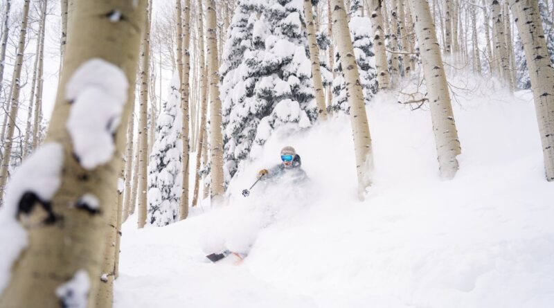
Will a strong El Niño bode well for Colorado ski resorts?
A strong El Niño weather pattern has set up in the Pacific Ocean, which could be good news for skiers and snowboarders in Colorado’s southern mountains. But the National Weather Service’s 90-day outlook is forecasting above-average temperatures for Colorado’s high country through November, which doesn’t sound like good news at all.
Here’s the reality that may be most important for snow riders to bear in mind as they wonder what kind of snow season is in store for Colorado resorts: Meteorologists always caution that long-range forecasting is often wrong.
Last year is a good example. Sam Collentine, a Colorado-based meteorologist for the OpenSnow forecasting and reporting service, recently analyzed predictions made a year ago with a post headlined: “Did Anyone Accurately Forecast the 2022-23 Winter Season?”
“Nearly every three- to six-month forecast was far from accurate,” Collentine said via email this week while traveling in Europe. “AccuWeather, OnTheSnow and NOAA called for below-average precipitation across California, southern Utah and southern Colorado. In reality, these areas received above-average to record snowfall.”
Eight California resorts set snowfall records, in fact, and most Colorado resorts reported above-average snowfall which lengthened the ski season by weeks.
“Not to say that OpenSnow ‘called it,’ but I did write an article in August 2022 discussing the ‘Triple Dip La Niña’ and how it was shaping up to be similar to the 2010-11 winter, which was a banner snow season across the west,” Collentine said. “It’s hard to say if the robust La Niña directly correlated with the above-average snow season in 2022-23, but it was great to see a preseason ‘signal’ come close to fruition.”
El Niño and La Niña refer to surface water temperatures in the equatorial Pacific which affect storm tracks in the U.S. La Niña, which was in effect the past three winters, typically produces winter storm tracks that predominantly flow from the Pacific Northwest and favor northern resorts. When El Niño is in place, southern Colorado resorts tend to fare better because the general storm track favors the southwest U.S.
As part of his preview for this coming winter, Collentine analyzed the snowfall Colorado resorts received during the last seven significant El Niño winters. Here is a list showing the ratio of above-average snowfall during those seven seasons at some Colorado resorts, according to his research:
- Five of seven above-average seasons: Wolf Creek, Winter Park
- Four of seven above average: Vail, Crested Butte
- Three of seven above average: Steamboat, Copper Mountain
- Two of seven: Aspen
“The one trend that did really stick out from my research was the potential for an above-average start to the snow season in October and November, a below-average stretch during the months of December, January and February, followed by another above-average snow stretch in March and April,” Collentine said. “This really caught my eye, as it’s a significant trend during El Niño winters at every single SNOTEL station across the state.”
SNOTEL is a network of automated stations across the Mountain West that gather weather data. There are more than 100 in Colorado.
Here are some Colorado figures Collentine generated regarding the most recent El Niño winter (2015-16):
- Steamboat: 408 inches, 110% of normal
- Winter Park: 360 inches, 103%
- Vail: 342 inches, 97%
- Aspen Highlands: 254 inches, 101%
- Wolf Creek: 443 inches, 114%
Here, then, is Collentine’s advice for skiers and snowboarders this coming winter:
“Overall, history tells us that Colorado tends to be right around average for snowfall during El Niño winters, with the potential for a stronger start and end to the season.
“Having said all of this, for skiers and snowboarders, keep in mind that when it comes to finding the best conditions, it’s all about timing. To have the best chance of enjoying the deepest powder, our recommendation is to book a trip seven to 10 days in advance.
“Sometimes, longer-range forecasts can identify possible storms one to two weeks (or longer) in advance, but often, forecast confidence in the details of each storm only begins to increase when the system is about one week away or closer.”
Subscribe to our weekly newsletter, The Adventurist, to get outdoors news sent straight to your inbox.
Source: Read Full Article